In March of this year, President Obama designated five new National Monuments, including one in Washington State’s San Juan Islands, an archipelago of over 450 islands, rocks and pinnacles in the northwest corner of the contiguous United States. In his proclamation, the President stated, “The protection of these lands in the San Juan Islands will maintain their historical and cultural significance and enhance their unique and varied natural and scientific resources, for the benefit of all Americans.” The proclamation also recognized the past and continuing significance of the islands to Coast Salish peoples, including the Lummi Nation. For a map of the new monument, click here.
The San Juan Islands National Monument includes nearly 1,000 acres of land already administered by the Bureau of Land Management (BLM). While the designation does not expand BLM holdings, which remain relatively small relative to the total land area of the islands, it does heighten the degree of protection afforded to the landscape. It is now very unlikely that any private development, including resource extraction, will ever occur on lands located within the monument boundaries. The monument is also now part of the BLM’s National Conservation Lands program (formerly known as the National Landscape Conservation System).

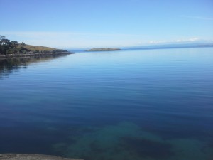
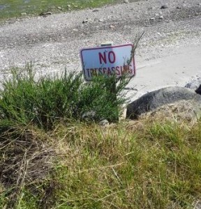
On a recent visit to Lopez Island, I had the opportunity to explore some of the lands now in the monument, including Iceberg Point. In addition to spotting a Bald Eagle, I also noticed something a little less spectacular – a slew of “private property” and “no trespassing signs.” In fact, along almost every beach I passed on Lopez, the signs were in full view, in front of each and every property. The visibility of these markings served to underscore the importance of protecting not only the new monument, but also existing county and state lands.
Relative to other Pacific Coast states, especially Oregon, Washington has a low percentage of tidelands in the public domain. Beginning in the late 19th century, the state government pursued a policy of actively selling tidelands, a practice which continued until 1971. Today, only about 30% of tidelands are publicly accessible. Compare this to the Oregon Beach Bill, passed in 1967, which established the right to public ownership of land on the Oregon Coast from the water up to sixteen vertical feet above the low tide mark. As a result, the vast majority of the beaches are open to the public, many as state parks.
Will Washington State ever pass legislation similar to the Oregon Bill? The answer is probably not, at least in the near future. However, other approaches, particularly Cape Cod National Seashore, now more than 50 years old, may provide a model as to how coastal lands in states with a high percentage of private property could be managed to ensure accessibility. Moreover, the public trust doctrine in Washington State should be clarified. Right now, it is not entirely clear if an individual has the right to walk across a beach ostensibly in private property – the signs on Lopez Island would indicate this right does not exist, but the courts have not been as absolute in their rulings. It will be interesting to see what happens in the future, in Washington State and elsewhere, as pressure to privatize beaches and other tidelands continues.


