Dealing with Threats (and Opportunities) at Sufficient Scale. (Part 1 of 2)
Editors’ note: In this first of a two part series, author Amy Rosenthal, secretary of the board of the Amazon Conservation Association, explores the history, contemporary challenges and benefits of working on a landscape-scale in the southwest Amazon. As the scale and rate of industrial development in the region grow exponentially, local communities and associations, place-based nonprofits and other collaborators have come together to plan and execute an ambitious initiative to address the environmental and human needs of this unique place.
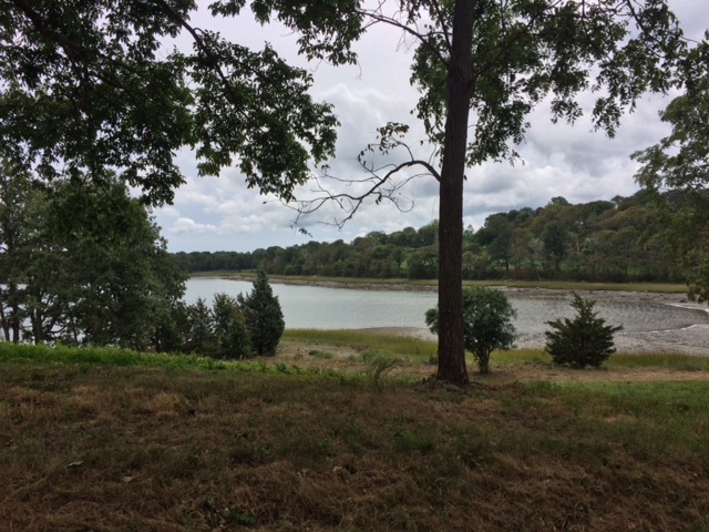
The southwestern Amazon has been a remote place for most of human history. It is a steamy region, where lush jungles support an incredible diversity of flora and fauna. Bands of monkeys swing through the trees. Jaguars and pumas hunt white-lipped peccaries and capybara. Harpy eagles and macaws nest in trees 16 stories tall. The giant, ancient arapaima vies with schools of piranha to rule the rivers. And, many-colored ants, butterflies, grasshoppers, and beetles number in the millions. We are still discovering new species today.
Unlike historically populous areas of the Amazon, this area now known as the MAP Region (Madre de Dios, Peru; Acre, Brazil; and Pando, Bolivia) is thought to have been inhabited by small, disperse bands of peoples. The first waves of non-Indigenous immigration took place in the late 1800s, when colonists sought to reap the benefits of the rubber and gold rushes. Yet, roads and urban construction – the hallmarks of the human footprint – were slow to appear. The first paved roads arrived only in the 1980s, accompanied by rampant violence and deforestation, and the world’s first eco-martyr, Chico Mendes.

Today, the MAP Region is being transformed. From the air, instead of a rich green carpet, you see what appears to be a long spine, with a series of fishbone cuts deep into the jungle. Dusty red cities crop up –Cobija, Puerto Maldonado, Iberia – and one metropolis – Rio Branco – full of cars and shopping malls. Peri-urban zones are flat, yellow or grayish green and dotted with white cows; they spread in every direction and along the spine as far as you can see. On the Peruvian side, smoke wafts up from grey-brown holes in the forest – gold mines; these sites appear almost overnight, quickly fill with Andean migrants and mercury, and over days are dug down to sand and bedrock. On the ground, in many places, there is no reminder of the cathedral forests and the crouching jaguars, save the early morning sounds of macaws flying overhead or the lonely sloth that wanders into an urban downtown.
On the one side, this is a story of successful development: paved roads, modern bridges, sparkling new cities, and more jobs for the Andean poor.
On the other, it’s a calamity for people and for the environment. In 2009, the U.S. EPA measured urban air emissions of mercury in this region to be the highest found almost anywhere in the world. Waters, fish and birds are poisoned, and people are afraid to eat local foods. Indigenous groups have no alternative sources for their water and protein needs and so they suffer some of the worst health effects. The forest burning literally chokes the cities. Over the past decade, Rio Branco has had to close its airport numerous times because of low visibility due to smoke. While living in Rio Branco in the early 2000s, I saw ash fall from the sky like rain. Rates of respiratory illnesses – especially in children – are up. Hunting has decimated many monkey populations. The fishbone roads, towns, and mining camps disrupt critical migration pathways for jaguars, macaws, and peccaries.
And, the effects of climate change are beginning to be felt: the region has had successive years of devastating floods in the rainy season and sickening droughts in the dry season. Thousands of people have lost their homes, and rainy season emergencies have become the norm. In the dry months, many people fall prey to water-borne illness and diarrhea. Rates of dengue and malaria have increased, and some studies have demonstrated a relationship between rates of infection and deforestation.
What can we do? Learn more in Part II: What Makes Us Take on Large Landscape Conservation? Dealing with Threats (and Opportunities) at Sufficient Scale.
Amy Rosenthal contributed this article. Ms. Rosenthal, an occasional observer for this website, isScience-Policy Interface Specialist with the Natural Capital Project, a collaboration among the WWF, The Nature Conservancy, Stanford University, and the University of Minnesota to create tools that map and value ecosystem services and help policy makers, companies, and multinational institutions make good decisions about development. From 2007 to 2010, Amy was Deputy Director for Projects at the Amazon Conservation Association (ACA), where she designed and managed major conservation initiatives and established ACA’s REDD program. Prior to her work with ACA, Amy contributed to the book The Last Forest: the Amazon in the Age of Globalization and established an environmental management training program with the Federal University of Acre in Brazil.